hiking in santorini

day 5: history and sunset

SANTORINI DAY 5 :
A N C I E N T  T H E R A ,  A K R O T I R I ,  S U N S E T  A T  F I R A

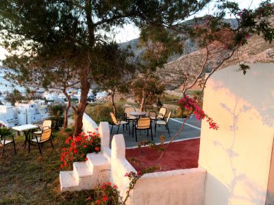
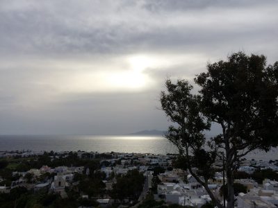
after all the rain and thunder throughout the night, came the astounding sunrise! what a perfect beginning to my last full day in thira!
夜通し、雨・風・雷が凄かったです。でもその代わりに待ち受けていたのは、見事な朝日!出発前の最終日に最高な始まりでした。

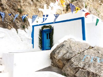
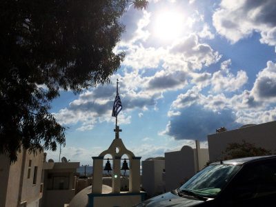
the blue sky, sunshine, white walls, grecian flag, all couldn’t be more picturesque than on this day.
青空、太陽、白い建物、ギリシャ国旗。
. . . . .

– A N C I E N T  T H E R A –


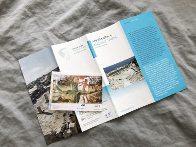
i’ve gathered the photos of ancient thera here! it was quite something to think these ruins were inhabited as early as the 8th century BC. most of what remains seems to have been rebuilt and expanded by later inhabitants until the 8th century AD. i’m not a historian so i won’t explain in detail, but i share photos of explanations and the ruins in the link above!

最初に行ったのは、古代ティラの遺跡。写真はこちらにまとめました。紀元前8世紀にはここを住みかとされていた人々と同じ土を踏んで、胸が躍りました。それから8世紀にかけて他の民族が移り住み、何度も改築、発展されて来ました。歴史家ではないので、あまり詳しくは説明できませんが、写真とその説明書き(英語になりますが、図を参考に)を上記投稿リンクにまとめました。

– H I K I N G  U P  T O  T H E
M O N A S T E R Y  O F  P R O F I T I S  I L I A S –

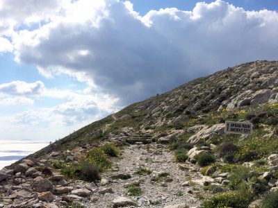
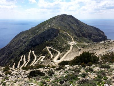
moving on after ancient thera, i started hiking towards the monastery of profitis ilias (prophet elias). this photo is looking back towards ancient thera. the winding road on the left goes down toward kamari. the roundabout leads to the entrance of ancient thera; you can see the snake-like path a third of the way down the mountain inside the ancient thera ruins. beyond the top of the mountain is where the central and southern sections of ancient thera would be, facing due south. to the right of the mountain would be perissa (where i came up from on day three).

古代ティラの遺跡後、プロフィティス・イリアスの修道院に向かってハイキングし始めました。この写真は、古代ティラの方を見て。ジグザグの道路はカマリへ進みます。ロータリーから写真上に向かっているのは古代ティラの入口へ。向こうの山の左側、てっぺんから3分の1降りたところに遺跡内の歩道が見えます。向こうの山の海側は南向き、古代ティラの中心部から南部があります。山の右側は三日目に登ったトレイルがあるぺリッサ側

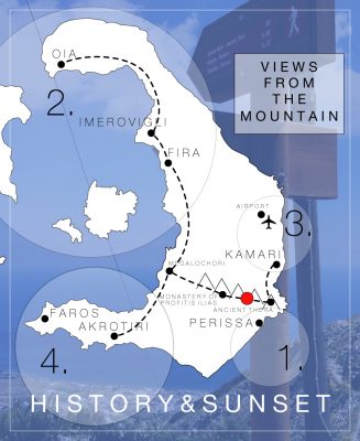
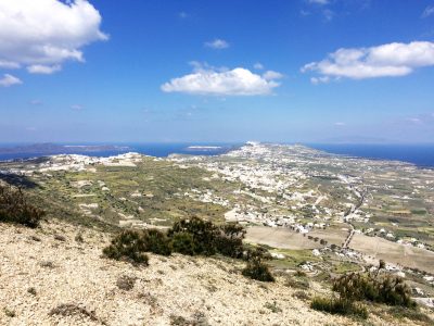
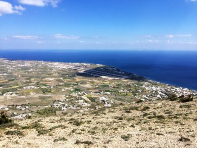
the red circle in the below map is where i took the photos below. the numbered circles represent the direction the photo was taken in perspective from the red circle.
下記地図の赤●は立ち位置。その立ち位置から撮った写真の方向を番号で記載しています。

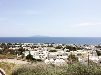
this is a view of perissa and perivolos along the shoreline. (*see 1. in map above)
海岸沿いにペリッサとペリヴォロス。(*地図 1.)
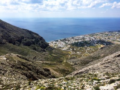
this is a view facing fira, oia, and the caldera. (*see 2. in map above)
フィラ、イア、とカルデラ。(*地図 2.)
that’s the airport! (*see 3. in map above)
空港!(*地図 3.)
yay!!! i made it to the top!!! to tell the truth, i lost the path multiple times, and it was more treacherous than i was prepared for (because i lost the path?)…

頂点まで登れました!正直言うと、ハイキングトレイルが曖昧なので、何度もトレイルから外れてしまいました。予測していたよりだいぶ危険な(岩を登ったり、とげの多い茂みがあったり)道でした。
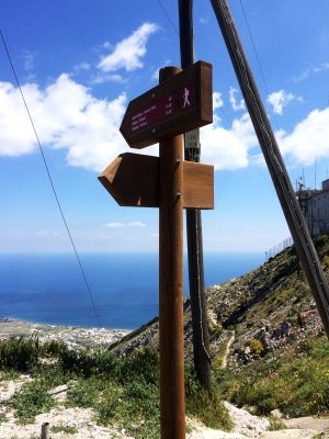
– T H E  M O N A S T E R Y  O F
P R O F I T I S  I L I A S –

don’t mind the radiation… o_o / 放射線??
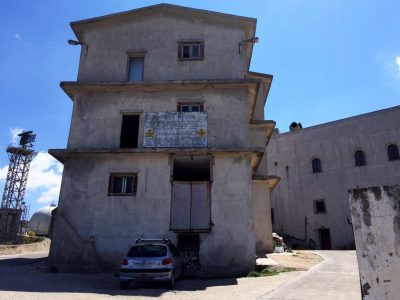

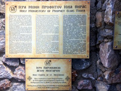
here’s some basic information about the monastery of profitis ilias:
プロフィティス・イリアスの修道院についての情報:
A Brief History of Santorini’s Monastery of Profitis Ilias
by Ethel Dilouambaka for The Culture Trip

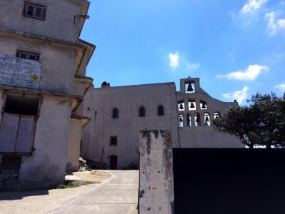
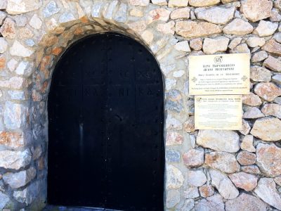
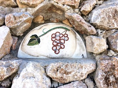
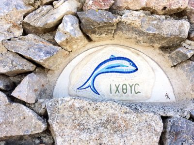
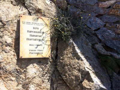
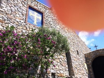
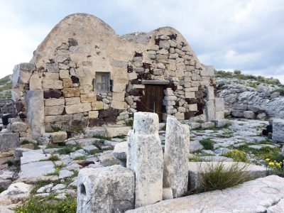
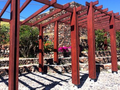
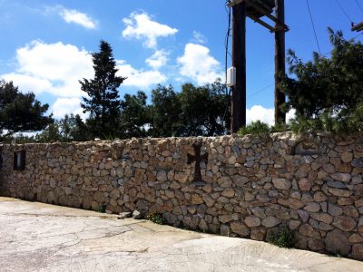
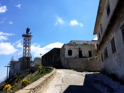
i couldn’t visit inside, possibly because it was around lunchtime, but here are some photos i got of the outside (and really, please ignore the fact that my big ol’ finger is in one of the most important photos…).

お昼休み中だったからか、中を見学できませんでしたが外壁の写真は撮れました!すごく残念なことに一番メインの写真に指が入ってしまったこと。。。(T_T)


one last look around the monastery before descending towards megalochori, which is the nearest bus stop.
修道院付近をもう一周し、メガロチョリに向かいました。
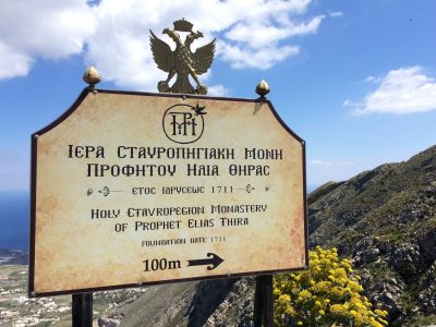
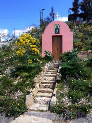
– H I K I N G  T O  
M E G A L O C H O R I –

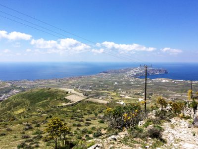
this is faros, the western tip (in the south) of thira. i couldn’t make it here this time since it is apparently more convenient by car. (*see 4. in map above)
こちらは、ファロス。ティラ島の最南端の町。元々こちらで泊まろうと思っていたのですが、車がないと移動が難しいため断念しました。(*地図 4.)
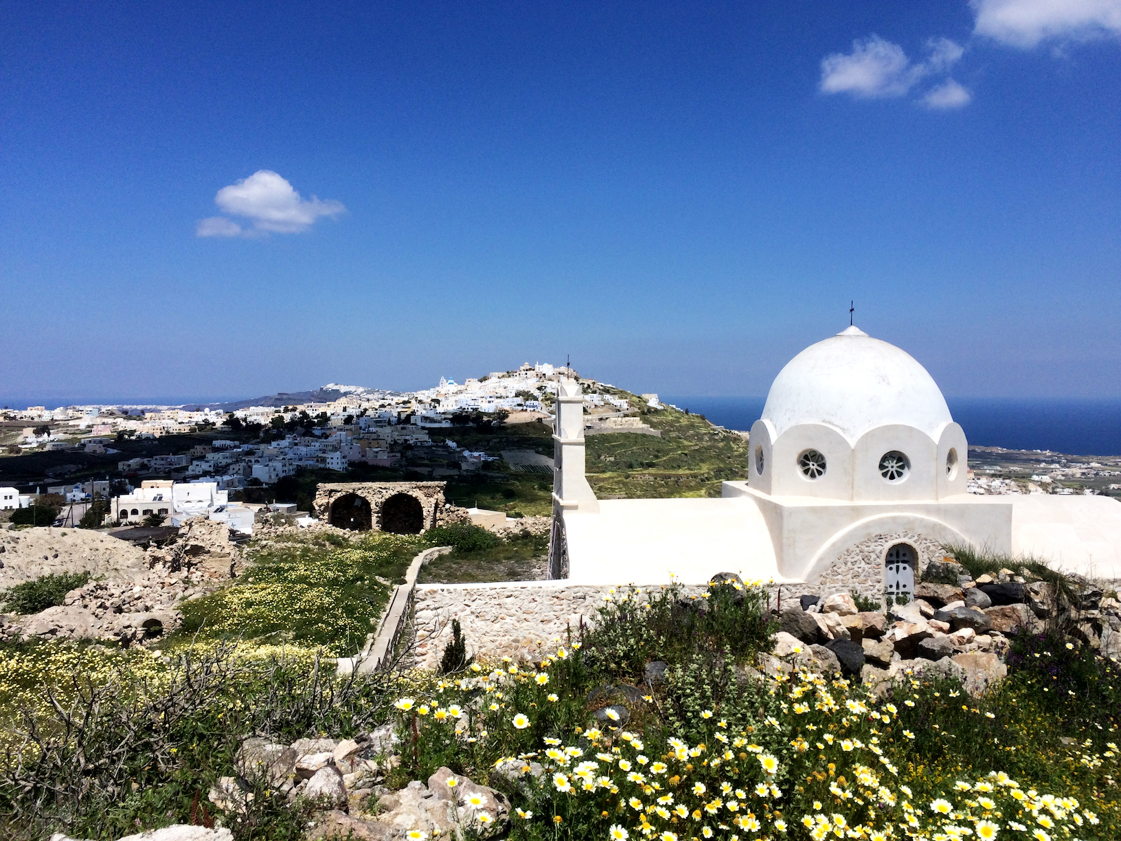
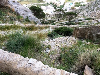
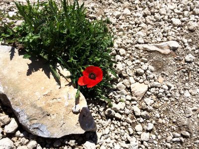
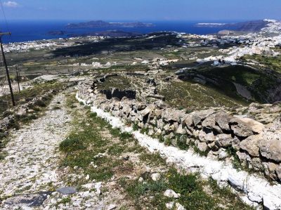
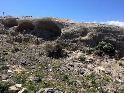
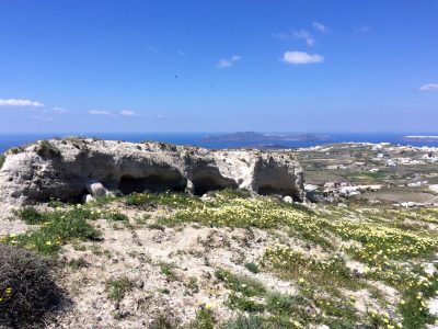
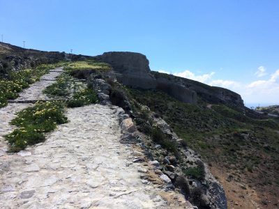
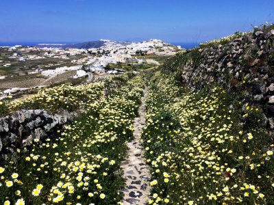
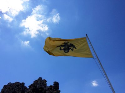
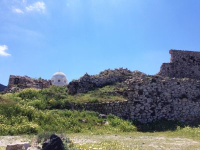
the nature, rocks, ruins along the way to megalochori! after a quick google search, that flag apparently represents the greek orthodox church.
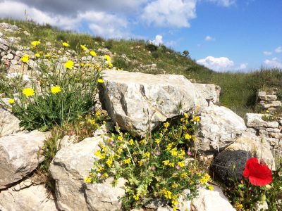
この島で見る自然は常に石と花が隣り合わせになってバランスし合っています。黄色の旗は、ギリシャ正教会のものです。
– A K R O T I R I –

from megalochori, i visited akrotiri (i wanted to see the red and white beaches), but by this time i was absolutely exhausted. i nearly took the bus straight back to fira, when i turned around and saw that the akrotiri excavations archaeological site was right by the bus stop. something in my head told me to stay. unfortunately, i didn’t get any photos (except the one below, inside the excavation facility) or pamphlets, but here are some links:
Santorini Archaeological Sites : Akrotiri Excavations
from Santorini.com
A Life’s Work: The Excavation of Akrotiri in Santorini
by Tassoula Eptakili for Greece Is

メガロチョリからバスに乗ってアクロティリへ向かいました。ここでは赤と白い砂の海が名物ですが、午前中のハイキングで憔悴。バスでそのままフィラまで戻るか悩みましたが、バス停を背にしたらアクロティリの遺跡博物館の入り口が目の前にありました。せっかくアクロティリに来たのであれば、一つでも何かを見て行こうかと思い、入ってみました。残念ながら写真は撮っておらず、パンフレットもありませんでしたが、上記リンクを見つけました。日本語ですと、こちらが詳細に紹介されていました:
アクロティリ遺跡と博物館
by 遺跡ときどき猫

it really is something to see! to me, this is even more significant than ancient thera, as this site dates back as early as the 4th MILLENIUM BC! the civilizations that lived here until the early late bronze age (around 17th century BC), had 2-3 story buildings, amazing paintings, and even a drainage system (i mean, toilets??). the town was abandoned after a series of severe earthquakes preceding a volcanic eruption in the late 17th century BC. covered in volcanic material, the town was preserved until they officially began excavations in 1967 and are currently continuing excavations.

アクロティリ遺跡の方が古代ティラより興味深かかったです。と言うのも、こちらは紀元前4千年紀(古代ティラは紀元前8世紀からでした)から存在していたからです。アクロティリの人々は青銅時代(紀元前17世紀)まで住まれていて、この時代にすでに2〜3階建の建物を建て、美しい絵画もあり、排水装置(トイレですよ!)までも考えられていました。紀元前17世紀に起こったサントリーニ火山の大噴火により、火山灰に埋もれてしまいこの遺跡は1967年の本格発掘まで保存されていました。この遺跡には人の骨などは見つかっておらず、恐らく大噴火前の地震が前兆となり、無事逃げ切れたとか。

the shelter that protects the excavations is quite interesting, also. protecting from the elements while keeping the ecosystem as stable and comfortable as possible, they made a bioclimatic building utilizing the four elements with minimal energy consumption. (please do visit this website if you are interested in bioclimatic structures!)

今もまだ発掘作業が続けられているみたいですが、現在の自然の要素から受ける影響を軽減するよう、そしてなるべく遺跡の環境を保護するような保護施設が建てられています。風通しが良く、作業をしている人のために適切な温度を保たせるための建物は、余計なエネルギーを使わずに自然の4元素を最大限に利用されています。(また、英語になってしまいますが、環境を配慮した建築にご興味のある方はこちらのリンクを一度ご覧ください!写真や図もたくさん載っています。)

intrigued and motivated again, i took the bus to fira. this was the last (and most important??) bit of my trip! SUNSET!!!
アクロティリ遺跡を見て元気復活!フィラへ戻り、今回の旅の目玉、夕陽ハンティング開始!

– S U N S E T  A T  F I R A –
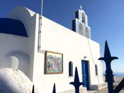

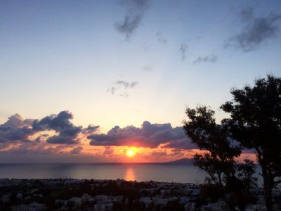
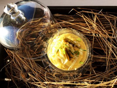
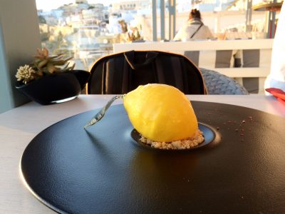
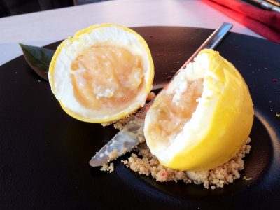
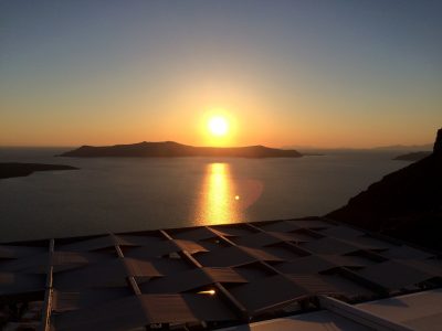
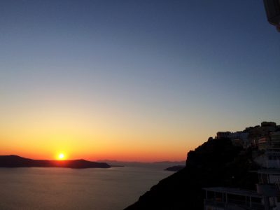
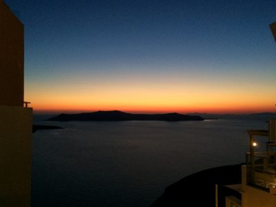
i took a walk to oia, in hopes of seeing the sunset here. however, with the exertions of the whole day (i walked more than 20km this day), i decided to watch the sunset from fira (which was just as spectacular), while having one last gorgeous dinner. i had some help from a greek native, making sure i ordered the right foods, and absolutely grateful for that! HERE GOES:

フィラからイアまで再び歩きました。が、一日の疲れを考えて(この日だけで20km歩きました)、バスで帰りやすいフィラまで戻ることに。フィラでの夕陽も十分美しく、奮発して贅沢なディナーもいただきました。ローカルの人にアドバイスしてもらって、メニューから選びました:


and then / そして:


kalinihta / カリニヒタ〜(おやすみなさい)?
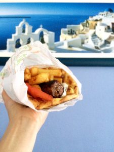
see my post about santorini food here:
サントリー二の食についての投稿はこちら:

day 3: perissa

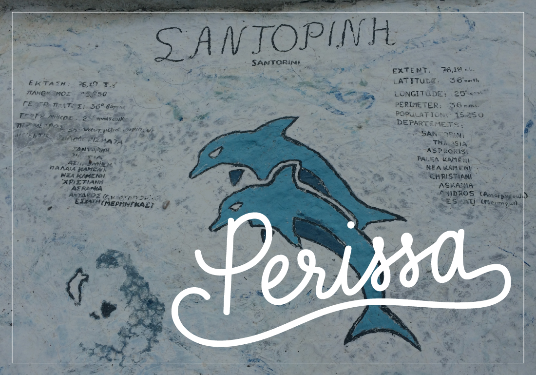
SANTORINI DAY 3 : P E R I S S A


this day started off grayer than the day before! being that the forecast said it wouldn’t be great and i was still tired from the day before, i decided to stay in and catch up on reading and working on art.

前の日よりも曇り空。天気予報もこの日は悪天候と聞いていた上、前日の疲れもたまっていたので、ホテルでゆっくり読書したり絵を描いたりしてリラックスすることに。


then, as the morning proceeded, the clouds burned out and the weather cleared up! not to mention there was a power outage (which means no running water here either…) and i started getting restless.

すると、お昼を迎える頃には雲が消え、快晴になりました!しかも、ホテルで停電になってしまいネットも使えず、サントリーニでは水道も電気で流れるらしくトイレも使えなくなったので、閉じこもっているよりは、ちょっと太陽を浴びようと出ました。

i decided to take a trip down to perivolos and walk along the beach to perissa. on the map it’s very close to kamari, but with a mountain there (the one i mentioned on day 2 where i saw the clouds rolling over), it requires passage via bus from fira (or so i thought…).

バスでペリヴォロスまで行って、海岸沿いで近くのペリッサまでお散歩しようと決めました。ペリッサとカマリは地図上だと近いですが、間に大きな山がそびえ立っていて(前日のバスから見たホテル裏の山)、「バスでしか行けないよ」とホテルのオーナーに言われました。


well, the service on the bus to perivolos/perissa was quite unpleasant… the ticket fare collector on this bus was rude to some passengers and that had me cross… not to mention, they skipped the perivolos stop and dropped all of us off at perissa. which may have turned out for the better because it was extremely windy (like i mentioned on the tour day, the wind seems to blow from this side of the island over the mountain).

このバスでのサービスが最悪で、車掌さんが他の乗客にすごく失礼な態度をとったり、ペリヴォロスで降りる人が他にも何人かいたのに、通り過ごしてペリッサまで行ったりと、お散歩気分が台無し。でも、風がすごく強く(前日書いたように、山のこちら側から風が来てカマリ方面へ流れていきます)、砂が飛び散らされてお散歩どころでもなかったです。

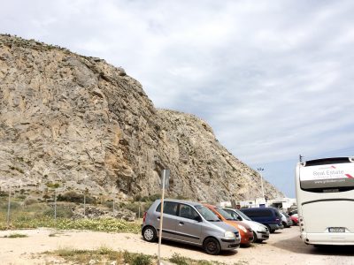
to avoid sand in my eyes and to blow off some steam, i decided to wander away from the perissa beach towards the mountain. the further i walked the more i was blown away by the size. it’s not necessarily super tall, but something about it has such presence.

砂を避け、気分転換にペリッサを背にして山の方へ向かいました。東京や日本の山ほど高くはないのは確かですが、ドーンとした存在感のある岩肌に進めば進むほど、この山に圧倒されました。

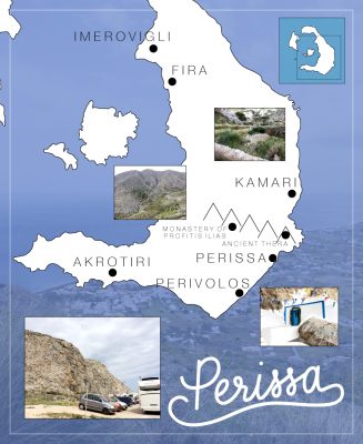
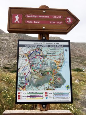
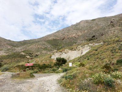
i had asked the hotel owner, petros, if this mountain was climbable and he said “haha, i saw people coming down the mountain once. they’re insane!!” challenge accepted! well, only after i saw the mountain and this map! this map means, the mountain has an actual hiking trail! i mean, if i weren’t capable i could always turn back?
ホテルのペトロスに聞いたところ、「あの山?登れるわけないよー 一回近くのカフェでお茶してたら、人が降りてきたのを見たけど、あり得ないあり得ない!」 山の麓付近にあったこの地図を見たら、あれ?ハイキングトレイル?登れるんじゃん?ペトロスの言葉を一旦忘れて、挑戦!無理だったらすぐ戻って、バスで帰られるしね。

as i walked on into the hike, i saw a mother and son (early teens?) coming down and i asked if the hike was difficult. the woman pointed at her feet in leather thong sandals. “if i can do it in these, not at all.” well, there you have it.

トレイルの方に進んでいたら、ある母子が降りて来るのを見かけました。息子さんは中学生ぐらい?「このトレイル難しいの?」と聞いたら、お母さんが足元を指差して、「このサンダルでできるんだったら、大したことないわよ」と。じゃあ、出来るんじゃん!

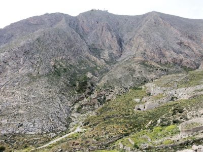
the day i flew in, petros picked me up at the airport and during the drive, he told me that we were passing the mountain where you could see a lone light at the top, one of the oldest monasteries on thira. the monastery of profitis ilias (prophet elias), which i visited on another day, is at the highest point of the island. you can see it at the top of this mountain in the center of the photo.

ティラ島に着いた夜、ペトロスが車で迎えに来てくれました。ホテルまでの道はほぼほぼ暗闇の中で、「左手には海、右手は山。頂上にポツンと電気が見えるのは、ティラで一番古い修道院なんだよ。」プロフィティス・イリアス修道院は、また別の日に行きましたが、ティラ島で一番高い位置にあります。この写真では山のてっぺんに見えます。

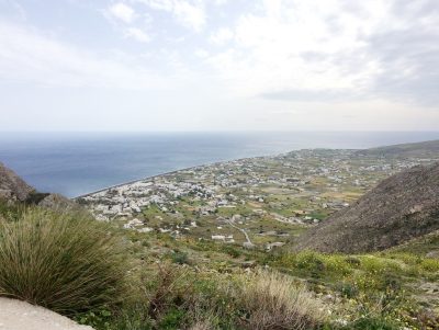
the cool crisp air and the steep, unpaved gravel path added to the impact of this mountain. that VIEW, though!
at the top was the ancient thera ruins. it was closed when i arrived, but this also, i visit another day.

まだ春になりきっていない時期で、強い風が冷たく、都会っ子にとって不慣れなトレイルはほとんど舗装されていないラフな砂利道。これも山の壮大さに加わったのかもしれません。そして、自力でここまで登ったら景色も壮大でした。
山頂には古代ティラの遺跡。この日はもう既に閉まっていたので、改めて別日に行きました。

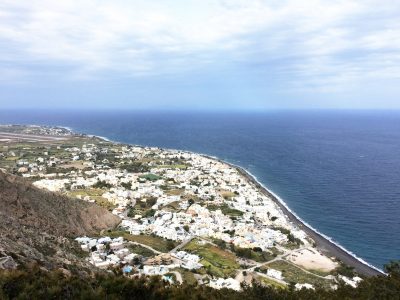
for this day, i decided to make my way down and soak in this experience. this view is the opposite side of the mountain, going back toward kamari.

始めてのハイキングで味わった興奮を吸収するにも、早めに切り上げてカマリへ下山しました。この写真は山のカマリ側。

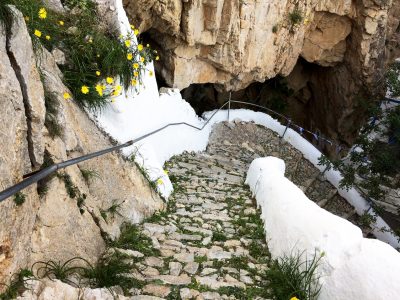
on my way down, i saw a small group of women going down some stairs. honestly, had i not seen them, i think i may have gotten lost on my way down. it was a curious flight of stairs, which led to…

下山中、ちょっと先に複数の女性のグループがいました。正直言うと、彼女たちを見かけていなかったら遭難していたかもしれないです。ついて行ってたら、どこからとなく山肌に隠されていた不思議な階段が現れました。

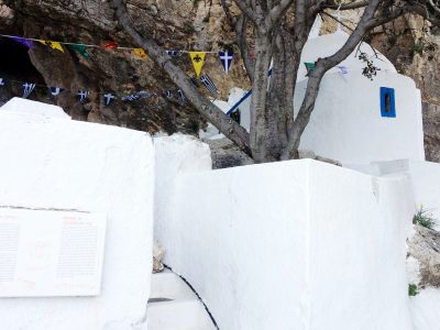
my first taste of the religious history here. it was kind of an appetizer to my next hike i’d make to ancient thera (usually, people would see this hiking up on the way to ancient thera, i kind of came through the backdoor from perissa).

この旅で初めて触れた神秘的な宗教の静けさ。後日、古代ティラの遺跡を訪れる前のオープニングのような場所。恐らくほとんどの方は、古代ティラへ登る途中に見つかるポイントなのですが、逆から来たので下山中に見つかりました。


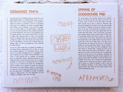
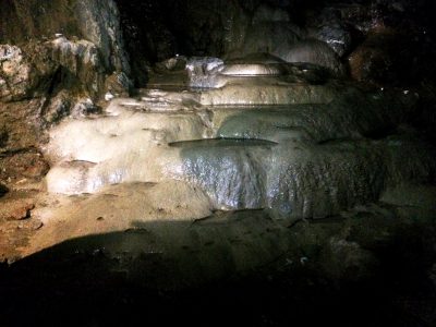
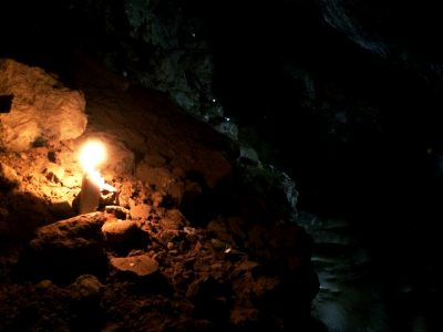
here is the spring that i entered with the group of women ahead of me. thank goodness for them, because one of them used their smartphone flashlight so we could all catch some photos and find our way in. otherwise, it’s pitch dark in there.

先に入った女性のグループがスマホのライトを照らしてくれてやっと目先が見えたのは泉の中。自然に湧き出る泉はその昔、古代ティラのみならず島中に水を与えていたそうです。


back on my way down to kamari. that really is one steep mountain.
泉を出て、カマリに向かって登山を続けました。本当に急な山道でした。

. . . . .

it really was one exhilarating day. the sun clearing up, the power going out, the bad service on the bus—all of it lead me up the mountain to find myself and my connection to nature.

ペリッサに着いてから興奮しっぱなしな日でした。太陽が出て晴れたことも、停電になったことも、バスで嫌な思いをしたことも、どれもこの山を登らせるように偶然が重なり、自然と触れ合って繋がる楽しみを知るきっかけが生まれました。

to tell the truth, this is the most i’ve ever experienced nature. i’m a city girl, i love public transportation, the chaos of crowds, having everything at my fingertips. yet, this trip, this particular day, was an awakening—telling me how much nature is majestic and powerful, to appreciate its existence, and at the same time how small people are. we humans are a miracle, but nature is vast and is what allows us to be.

こんなに自然と触れ合うことは、私の人生で初めてでした。都会っ子で、満員電車も人混みのカオスも嫌いじゃないし、なんでも手に入る便利さが当たり前。ただ、この旅の特にこの日に目覚めさせられました。自然の雄大さとその存在に感謝を感じました。人間は、この大きな地球、大きな宇宙に比べてとても小さな存在であること。でも逆に、その大きな宇宙でもとてもレアな存在の人間でもあること。人類はミラクルでありながら、大自然のおかげでここにいるのです。

santorini in a very big nutshell

i’ve been gathering, logging, summarizing all the little details and photos from my santorini trip in april, 2017. here i’ve linked to each page, all in one post so you can come back here to check out the details in order (or out)! it’s really a lot of information, so i’ve tried to keep it as organized as possible. i recommend reading in the order listed, but if you need specific information please skip the nitty gritty and enjoy as you wish =)

2017年4月の旅からずーっとこの旅日記と写真をまとめてきました。こちらのページにサントリーニについての投稿をリストアップし、それぞれのリンクを載せました。かなりの情報量なので、整理整頓して順番に記載しています。もちろん、順番に読んでいただいた方が分かりやすいと思いますが、一つ一つの投稿にもリンクを載せていますのでお好きなようにお読みください!

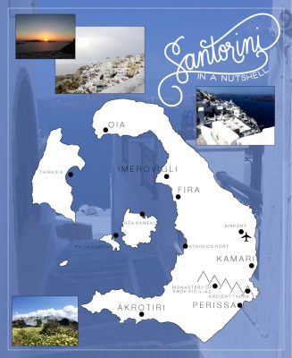
P.S. there are many similar names of cities that might get confusing. santorini is the entire collection of islands in the caldera, which was originally one island of santorini. over the years, after multiple eruptions and earthquakes, parts of the island had sunken to create separate islands. THIRA is the biggest crescent shaped island of santorini. FIRA, located on THIRA is the capital of santorini. ANCIENT THERA are ruins located on the mountain in between kamari and perissa.

注意:似たような名前が多いので、お気をつけください!サントリーニというのは元々一つの島でしたが、地震や火山噴火の影響で何箇所か沈没してしまいました。今のサントリーニ・カルデラ(火山地域)は、複数の島で成り立っています。そのうちの三日月型の『ティラ島』がメインの島です。『ティラ島』には、サントリーニ全体の首都『フィラ』があります。『フィラ』が、一番中心的な観光スポットです。『古代ティラの遺跡』は、『ティラ島』のカマリペリッサの間にあります。

– D A Y  0 –
welcome to my travelog
introduction and flying in
旅日記を始めたきっかけとサントリーニ、ティラ島に着くまで

– D A Y  1 –
fira
exploring fira to imerovigli
フィラからイメロヴィリまで探索
i have another post of a bunch of photos from fira in extras below!
下記『extras』欄にフィラの写真をたくさん載せた投稿もあるので、ご覧ください

– D A Y  2 –
santorini volcano tour
サントリーニ火山ツアー

– D A Y  3 –
perissa
hiking from perissa to kamari
ペリッサからカマリへハイキング

– D A Y  4 –
rainy day
staying in and chillin’
雨の日は、休息日

– D A Y  5 –
history and sunset
ancient thera, akrotiri, and the grand finale
古代ティラの遺跡、アクロティリ、グランド・フィナーレ

ancient thera
a post dedicated to ancient thera
古代ティラの遺跡の写真

– D A Y  6 –
goodbye santorini

. . . . .

– E X T R A S –

acropole sunrise
the hotel / 宿泊先ホテル

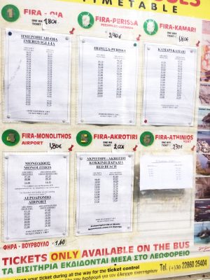
bus transportation on thira, santorini
ティラ島のバス移動について

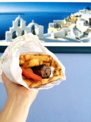
santorini food

fira

kamari

buildings in santorini
サントリーニの建物

nature & geology of santorini
サントリーニの自然と岩石

spice jar labels
handmade/handwritten labels for the spices i bought in fira
フィラで購入したハーブ・スパイス・ミックスように作った保存瓶

E N J O Y ! !